Thermal drones map underground embers after Cairngorms blaze
Thermal drones detect heat trapped beneath the ground after wildfires, guiding ground crews to hidden embers before they spread.
Talk With Tech Newsroom
The short version
Thermal drones locate heat sources that remain underground after a wildfire, guiding ground crews to where to put out embers.
In the Cairngorms, a July wildfire burned 33 square kilometers and left heat pockets that can reignite unless checked.
Pilots now program drones to fly repeatable routes so conservationists compare changes over months and years.
Experts say this approach helps allocate limited resources more efficiently and could prevent larger fires later.
Quick read · 1 min
Drones with thermal cameras are helping forest managers find heat that remains underground after a wildfire. The heat pockets can stay active for months and could reignite. Ground teams are directed precisely where to deploy water or dig soil to cool the spots.
Why it matters: this makes firefighting and forest recovery more efficient when resources are limited. What happens next: crews will continue repeat drone flights along fixed routes to track recovery over months and years, and may begin spotting new fires earlier from above the canopy.
Repeatable drone routes let scientists compare landscapes over time.
Underground hotspots are a real risk even after surface flames end.
Early detection from above could prevent future fires.
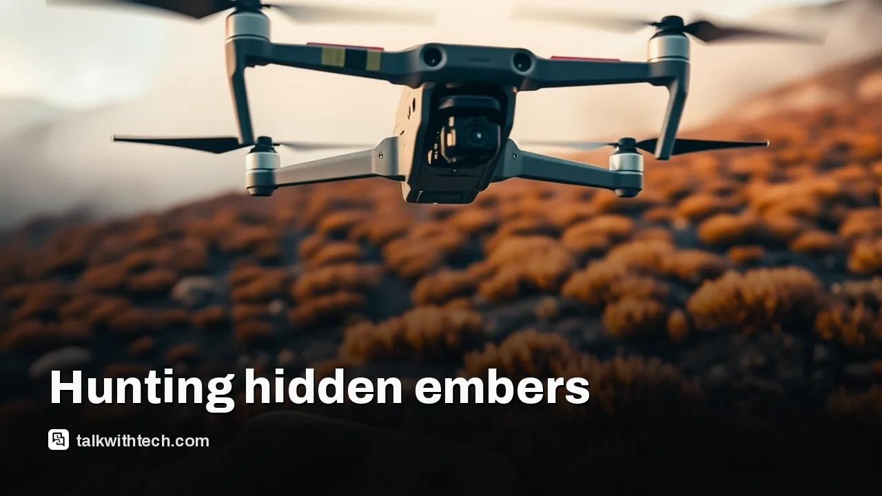
Drone crews in the Cairngorms National Park are using thermal imaging to hunt heat that burns underground long after visible flames fade. The goal is simple but critical: spot hidden hot spots before they flare back up, and direct ground teams to the exact patch of ground that needs water or soil disturbance.
In a dawn patrol that starts before sunrise, a dedicated drone pilot snakes a thermal camera over the forest. The heat glow on the screen isn’t a flame you can see with your eyes; it’s a map of residual heat trapped beneath the soil and under leaf litter. The first time the crew found eight hot spots on a single flight, a reminder that the fire can smolder underground long after the surface looks calm.
The wildfire barreled across roughly 33 square kilometers in July, scorching trees and soil. As the flames subsided, the real work began: finding pockets of warmth that could reignite. Local authorities say these underground hot spots are a real risk because they can reignite the fire if not treated. Ground teams then follow the drone’s coordinates to douse the area with water or to dig down and cool the earth.
Ground managers use these drone detections to prioritize where to send limited personnel. Ben Jones, who oversees conservation work in Abernethy, notes that with finite staff and resources, knowing the precise locations of hot spots makes the work far more efficient. Without the drones, crews would have to blanket the area and risk missing stubborn pockets that recur.
Looking ahead, researchers and park staff are adjusting the drones to perform repeat flights along the same routes. By using fixed waypoints and the same vantage points month after month, they can build a long-term picture of how the terrain recovers and where heat persists. That long view is not just about firefighting; it’s about understanding how ecosystems heal after a major fire and what conditions might trigger future blazes.
There is also interest in expanding the drone role to catch new fires earlier. Pete, the pilot in the project, says surveying from above the canopy can give responders a quick heads-up if a small hotspot starts to spread, potentially stopping a new fire before it grows.
The Cairngorms project shows how tech is increasingly part of wildfire response, not just during the blaze but in the months and years that follow. For residents of the UK, it’s a reminder that even when flames are out, the work of keeping forests safe can still be carried out by careful planning and smart use of drones.
The head of the Alan Turing Institute says Britain should build its own AI systems to avoid dependence on US and Chinese tech, boosting national resilience.
A column argues political and regulatory powers could wield more control over critical tech than any single software update, reshaping what you can do online.