Sunday, 1 November 2026

GNSS or GPS? Why your phone and watch use far more than GPS

Your phone, watch and car almost certainly listen to several satellite systems at once. Here's how GPS fits into GNSS, and which specs really improve accuracy.

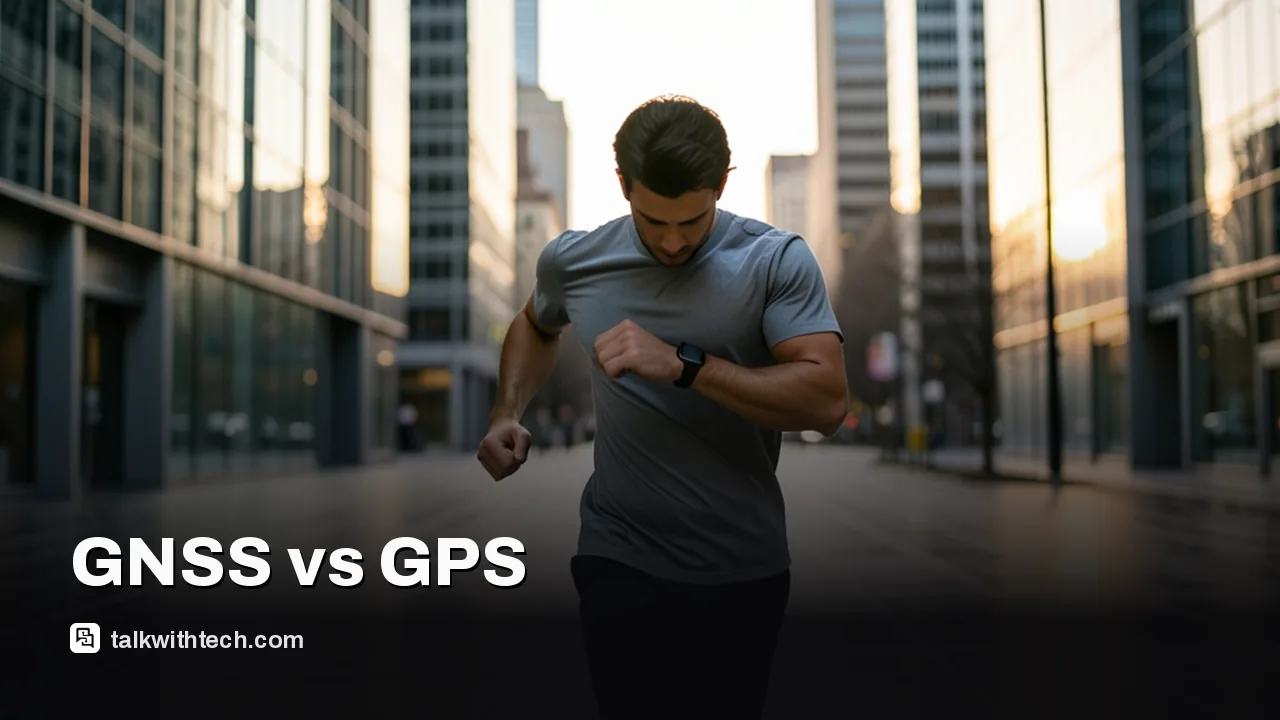
Runner checking a sports watch between tall city buildings at dawn

The short version

  • GNSS is the umbrella term for satellite navigation systems, and GPS is just the American one within that group.
  • Four systems cover the whole planet: GPS, Galileo, BeiDou and GLONASS, with QZSS and NavIC serving parts of Asia.
  • Modern phones and many watches combine several systems and two frequency bands for faster, more accurate fixes in cities.
  • When buying, look for multi-system support and dual-frequency or multi-band GNSS rather than the word GPS on the box.
Quick read · 2 min

GPS and GNSS get mixed up all the time, but they aren't the same thing. GNSS is the catch-all name for satellite navigation, and GPS is simply the American system inside it. Europe runs Galileo, China runs BeiDou and Russia runs GLONASS, and all of them work worldwide.

Your phone almost certainly uses several of these at once, even if the box only says GPS. More satellites in view means faster, steadier fixes in cities, forests and valleys, and newer chips that listen on two frequency bands cut down errors from signals bouncing off buildings.

  • Look for Galileo and BeiDou support next to GPS in the specs.
  • For running or cycling, pick a dual-frequency or multi-band watch.
  • Keep Android's Location Accuracy on so Wi-Fi and cell data can help indoors.

Europe is also adding new Galileo satellites, with the next generation due to start launching in 2028.

Search “gnss vs gps” and the short answer is this: GPS is one satellite navigation system, run by the United States, while GNSS is the umbrella name for all of them. The phone in your pocket almost certainly listens to several of those systems at once, even when the spec sheet only says GPS.

That matters more than it sounds. A receiver that can use American, European, Chinese and Russian satellites has far more signals to choose from, so it locks on faster and holds a better fix between tall buildings, under trees or in a steep valley. If you’re shopping for a running watch, a bike computer, a dashcam or a new phone, the GNSS line in the specs tells you more about real-world accuracy than the GPS badge on the box.

01

GNSS vs GPS: the difference in one sentence

GNSS stands for Global Navigation Satellite System, the general term for any satellite constellation that can tell a receiver where it is anywhere on Earth, and GPS is the American member of that family. It works a bit like “soda” and “Coke”: every Coke is a soda, but plenty of sodas aren’t Coke.

GPS became the household word because it got there first and because the basic civilian signal is free for everyone, everywhere. The first satellite for the system went up in 1978, and the full set of 24 satellites was working by 1993. Today more than 30 working GPS satellites circle the planet about 20,200 kilometers up, each one going round roughly every 12 hours.

Each satellite carries atomic clocks and keeps broadcasting where it is and what time it is. Your receiver measures how long those signals took to arrive from several satellites at once and works out its position from the differences. It needs no internet or phone signal to do that, which is why a hiking watch can still track you far from any cell tower.

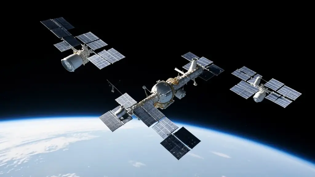
Navigation satellites orbiting high above Earth
02

The four global systems your devices can use

Four satellite systems cover the whole planet, and two more serve particular regions. The names tell you who runs each one, not where it works: a phone in Toronto can happily use Chinese satellites, and a car in London can use Russian ones.

  • Galileo (European Union): Europe’s civilian-run system. The European Space Agency says it reaches meter-level accuracy in real time because it offers two frequencies as standard. Of its 38 first-generation satellites, all but four are already in orbit.
  • GPS (United States): the original, owned by the US government and operated by the military, with a civilian service that costs users nothing.
  • BeiDou (China): China’s global system, often shown as BDS on spec sheets.
  • GLONASS (Russia): Russia’s global system, which early combined receivers paired with GPS.

The two regional systems are Japan’s QZSS and India’s NavIC. Recent iPhones list both, and they matter most when you travel in those parts of Asia.

Some receivers, especially in aviation, also use correction services such as WAAS over the US and EGNOS over Europe. These satellite-based add-ons are designed to sharpen accuracy and flag bad data on top of the main systems.

03

Which is better, GNSS or GPS?

A multi-system GNSS receiver beats GPS alone for almost everyone, for one simple reason: more satellites in view. When a skyscraper, a ridge or thick tree cover blocks part of the sky, a receiver that can only see GPS satellites may be left with too few for a clean fix. One that also sees Galileo, BeiDou and GLONASS usually still has plenty to work with.

The other big upgrade is dual-frequency, sometimes sold as dual-band or multi-band. Older consumer chips listened only on the main civilian band, called L1 on GPS. Newer ones add a second, lower band, L5 on GPS and E5a on Galileo. Using both gives better overall accuracy and fewer problems with signals bouncing off buildings, which is the main reason city runners see their track wander across the street.

Consumer dual-band devices started showing up in late 2018. Today, Google says most flagship Android phones from the big brands, including Samsung, Google’s own Pixel line and Motorola, support both L1 and L5.

How accurate does that get? GPS by itself is rated for meter-level positioning. Specialist equipment that adds correction data from ground stations can get down to a few centimeters. Your phone won’t reach survey-grade precision, but several systems on two bands is the difference between a run map that hugs the path and one that cuts corners.

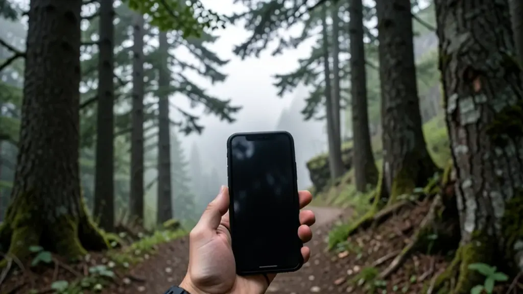
Hiker holding a smartphone on a forested mountain trail
04

What your phone actually uses to find you

Your phone’s location is a blend. The GNSS chip does the heavy lifting outdoors, while nearby Wi-Fi networks, cell towers and the phone’s own motion sensors fill in the gaps. Android’s Location Accuracy service mixes all of these, which is why a map app can still place you roughly right inside a supermarket where satellite signals barely reach.

Apple is a good example of the naming muddle. The iPhone 17 spec sheet says “precision dual-frequency GPS,” then names six systems in brackets, including BeiDou, Galileo, GLONASS and NavIC as well as GPS itself. In other words, the label says GPS, but the hardware is a full multi-system GNSS receiver.

You may also notice a short pause when you walk out of a building and the blue dot on your map jumps. That’s the phone switching from network-based estimates back to satellites and confirming a fresh fix.

On Android, phones running Android 10 or later must also share raw GNSS measurements with apps, and Google says more than 90% of existing Android phones already do. That’s what lets satellite-viewer apps show you exactly which constellations your phone is hearing at any moment.

Why other countries built their own systems

If GPS is free, why did Europe, China and Russia build rivals? Control. GPS belongs to the US government, which keeps a more precise service for its armed forces and approved allies while everyone else gets the free civilian signal. Galileo, by contrast, runs under civilian control, and the EU agency that manages it says it gives Europe independence in positioning.

That competition is good news for ordinary users. Every new constellation adds satellites your devices can use at no cost. Galileo was also designed to give good coverage far north, up to 75 degrees latitude, beyond the northern tip of Norway, which is handy for anyone in northern Canada. The EU agency says Galileo is already built into 4.5 billion mobile phones.
05

What to look for when you buy a phone, watch or car

The practical rule is simple: ignore the word GPS on the box and check three things in the specs or settings.

  1. Several systems. Look for Galileo and BeiDou listed alongside GPS, and GLONASS too. Any modern phone has this, but cheaper fitness bands and older car units sometimes don’t.
  2. Dual-frequency or multi-band. Look for wording such as dual-frequency, dual-band, multi-band or L1 plus L5. This matters most for runners and cyclists in cities, hikers in deep valleys and anyone who relies on a tracker for accurate speed and distance.
  3. The helpers switched on. On Android, keeping Location Accuracy turned on lets the phone blend Wi-Fi and cell data with satellites, which helps indoors and in dense downtown streets.
06

Jamming and spoofing: the weak spot of every system

Every one of these systems shares the same weakness: its signals can be drowned out (jamming) or faked (spoofing). That’s no longer a rare event. At the ION GNSS+ 2026 conference in Orlando, Ramsey Faragher, director of the Royal Institute of Navigation, said interference data for parts of Europe showed it happening every day for four years, adding there has “never been a day off.”

That’s why engineers now build navigation in layers. Zak Kassas, a professor at The Ohio State University, described GNSS as one layer among several, alongside maps, motion sensors, cell signals and low-orbit satellites, so a device can spot when one input has gone bad.

Europe is adding defenses too. Galileo has an authentication feature called OSNMA that lets receivers check that navigation messages are genuine, and the European Space Agency has just ordered four more second-generation Galileo satellites, bringing that fleet to 16. The first launch of the new generation is planned for 2028.

07

Quick answers

Is GNSS the same as GPS?

No. GNSS is the general term for satellite navigation systems, and GPS is the US system within that group. Most devices sold as having GPS actually use several GNSS systems.

Does Google Maps use GPS or GNSS?

In practice, both. Google Maps uses whatever satellite systems your phone’s chip supports, then refines your position with Wi-Fi, cell towers and motion sensors.

Is GNSS better than GPS on a smartwatch?

Yes, for accuracy. A watch that uses several systems, ideally on two frequency bands, usually tracks routes more closely in cities and under trees than a GPS-only watch.

You're reading the quick version.