MapQuest now offers a toggleable layer showing known outdoor surveillance cameras and license plate readers in its app.
The layer covers cameras from Flock Safety and several other camera networks without naming every brand by name in full sentences.
The feature sits beside traffic and incidents layers and is crowdsourced, with users able to add devices they spot.
Privacy and safety tradeoffs come with easier visibility into where cameras are, and potential misuse by private groups or authorities.
Quick read · 1 min
MapQuest now has a toggleable layer that shows known outdoor surveillance cameras and license plate readers on its map. The layer covers devices from several vendors and is crowdsourced so users can add cameras they spot.
Why it matters: it gives everyday drivers a clearer view of where cameras exist on their routes, which could influence route choices or raise privacy questions.
What happens next: MapQuest recently added Android Auto support and public transit directions, and this camera layer is another sign the app is stacking more live-data features. Availability of the layer may vary by region and app version.
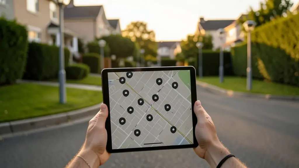
MapQuest is expanding its usefulness with a new feature that overlays known outdoor surveillance gear on its maps. You can turn this layer on in MapQuest’s Options, placing it next to the existing traffic and incidents layers. When activated, it shows where cameras and license-plate readers are located along streets and neighborhoods.
The new overlay includes networks commonly used by local agencies and private groups. It also highlights a prominent private provider whose cameras have become widespread in many communities. Other vendors responsible for various camera types and related tracking devices are represented in the map data as well.
MapQuest described the feature as a way for users to understand surveillance coverage in their area. Because the data comes from user contributions, you can help improve the layer by marking cameras you spot on the map.
01
Which cameras show up and how reliable is the data?
The layer pulls from a mix of publicly reported outdoor cameras and license-plate readers across several manufacturers. Since the data is crowdsourced, it may not capture every device or stay perfectly up-to-date in every locale. Expect gaps where no one has added a camera or where devices aren’t publicly listed.
02
What should readers know about privacy and safety?
Seeing where cameras exist on a map can help you plan routes and stay aware of what surrounds you. But it also raises questions about who owns the footage, who can access it, and how long it’s kept. A map alone doesn’t answer those questions, so readers should consider privacy and data-retention practices behind each device.
03
What does this mean for everyday use?
For many people, the practical takeaway is better awareness of surveillance along common commutes. The layer could influence route choices or how you plan trips in areas with dense camera networks.
04
What happens next
MapQuest has recently added Android Auto support and public transit directions, and this camera overlay is another step toward a more feature-filled mapping experience. How widely it expands or how quickly new cameras are added will depend on user participation and provider updates.
MapQuest rolled out the layer broadly, but availability can depend on the latest app version and regional data. Check MapQuest under Map Options to enable cameras if you see the layer.
Can I add cameras I spot?
Yes. The layer is crowdsourced, so users can contribute by marking cameras they spot on the map.
Does this mean the government can see my exact movements?
The feature shows camera locations, not real-time footage access. Privacy protections and access controls depend on who owns and operates each device and how footage is stored and shared.