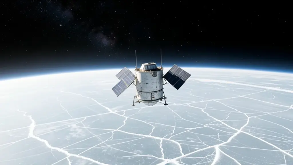
The team leaned on synthetic aperture radar, a kind of satellite imaging that bounces radio waves off the surface and can see through clouds and polar darkness. The data came from ICEYE, a Finnish satellite constellation able to spot ice moving up and down over kilometer-scale areas.
The researchers then checked their model against more than 25 years of real observations, from the mid-1990s to now. With a grounding zone 2 to 5 kilometers wide, the model finally matched how Thwaites has actually thinned, sped up and pulled back. Older models with a sharp grounding line missed the historical pace of change by a factor of four.
Eric Rignot, a UC Irvine glaciologist who co-wrote the paper, put it simply. The new model, he said, “is able to match the record and then produces projections that are twice as large as before.”