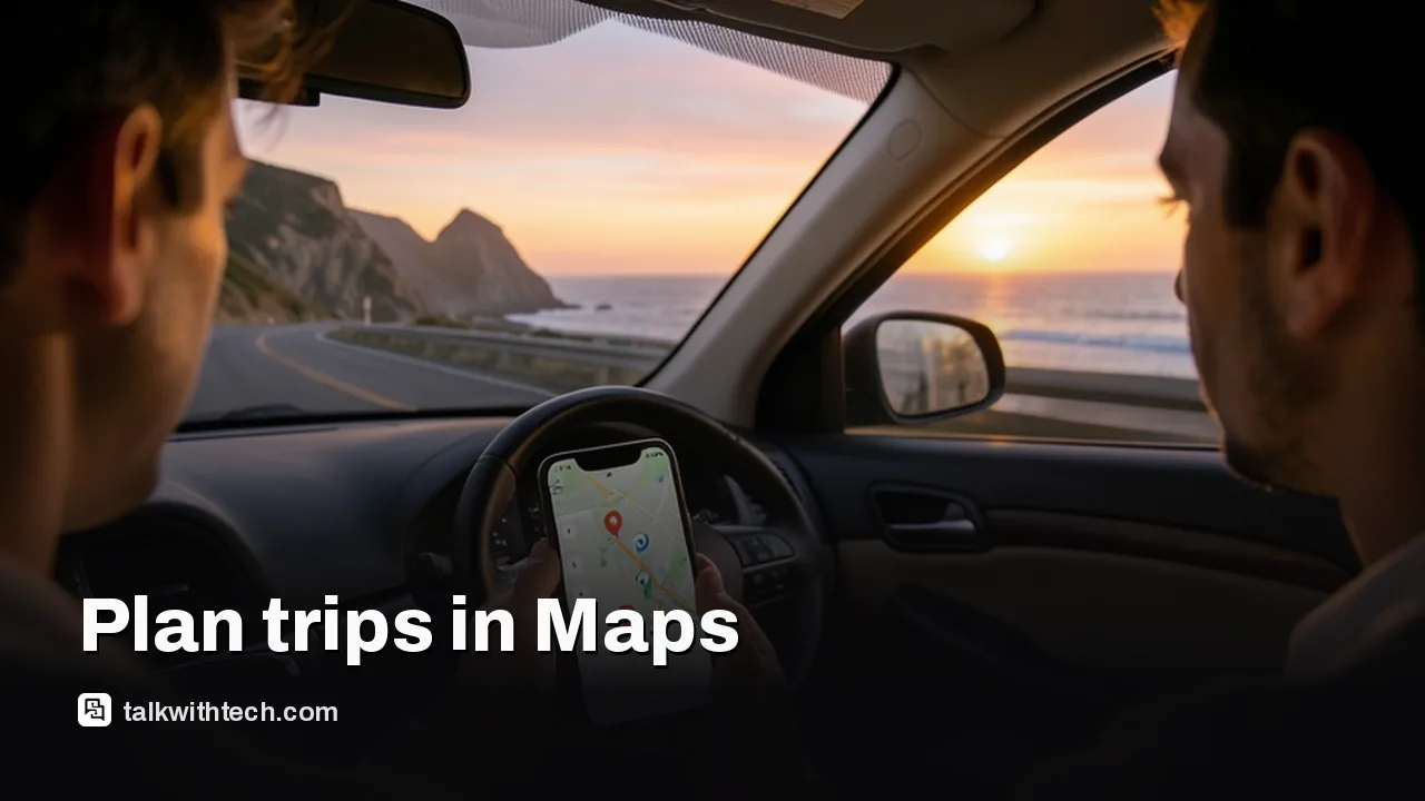
On the day, you reopen the plan from Ask Maps or by tapping the “itinerary” badge in your chat history, and it switches from a planning tool to a live guide. Each stop shows current traffic, whether the place is open right now and, in Google’s words, the “vibe” at your next stop.
Tap any stop to get directions there. If plans change on the road, you can keep talking to Ask Maps, for example to add a viewpoint along the way or find a quicker route when the weather turns.
In the US, starting directions now also brings up a “Know before you go” panel. It flags where to park, where to charge an electric car, and the weather, likely delays and tolls on your route. That last part is the closest thing to a pre-drive checklist Maps has offered.