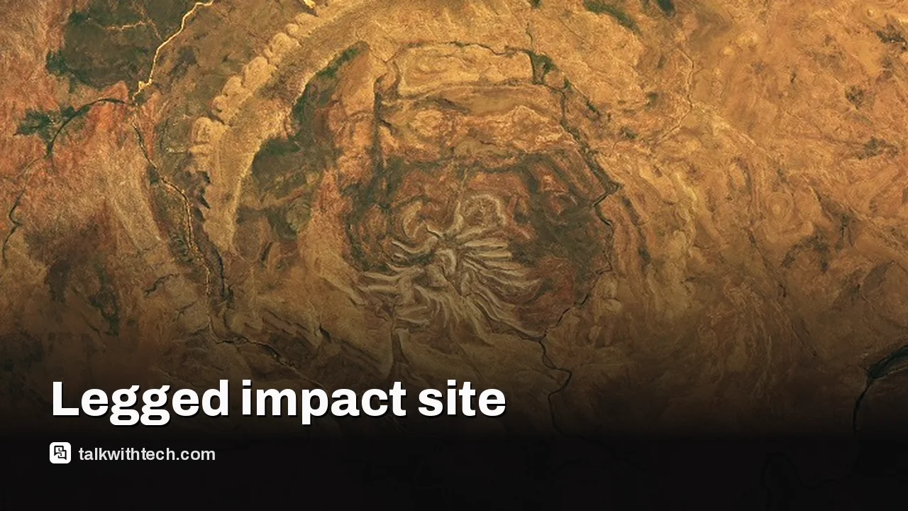
NASA’s Landsat 9 captured a satellite image of Spider Crater in Western Australia, revealing a 13 by 11 km oval impact structure with spider-like ridges.
Geologists identify a central uplift and leg-like sandstone ridges as evidence of a past meteorite impact dating to the late Precambrian.
Shatter cones and shocked minerals in the area confirm the impact origin, while researchers refine the crater’s age and formation details.
The image helps scientists study impact processes on Earth and informs how similar features might look on other planets or moons.
Quick read · 1 min
A new NASA image highlights Spider Crater, a 13 by 11 km oval feature in Western Australia. This legged landscape formed from a meteorite impact long ago and is studied using rocks that show shock effects.
The image, taken by Landsat 9 on Sept. 20, 2026, helps scientists piece together how such craters form and erode over hundreds of millions of years.
Central uplift signals rebound after impact
Leg-like ridges show erosion patterns
Age estimates place it between 900 and 600 million years ago
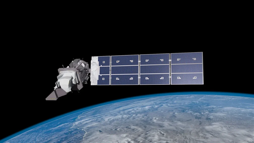
A new NASA view of an unusual geologic feature in Western Australia is turning heads. The Spider Crater rises from the Kimberley region as an oval impact structure about 13 kilometers by 11 kilometers, with a spider-like central dome and lighter, leg-shaped ridges fanning out across the area. The image comes from the Operational Land Imager (OLI) on Landsat 9 and was captured on September 20, 2026.
Scientists have long debated how Spider Crater formed, but field work and rock analyses are painting a clearer picture. The central uplift is the raised floor created when rock rebounds after a meteorite shock. Surrounding ridges, described as legs, are sandstone features that withstood erosion while other rock layers wore away over hundreds of millions of years. These patterns help explain how a single impact event can leave a long-lasting, leggy footprint on the ground.
To date the impact, researchers look at minerals in the area. They study shocked quartz and zircon crystals from the sandstone, using their deformation to infer the angle and dynamics of the original hit. Dating the event is tricky, but rock evidence points to roughly 900 to 600 million years ago, which places Spider Crater in the late Precambrian era. That timing sits far earlier than any human observation, but it informs how large impacts sculpt planetary surfaces over geological time scales.
The NASA Earth Observatory image showcases how spaceborne instruments like Landsat capture ground truth that can be tested in the field. By combining satellite data with rock samples, scientists can reconstruct the crater’s formation and its erosion history. The result is a portrait not just of one crater, but of how impact events shape continents and surfaces across eons.
Spider Crater’s distinctive look helps scientists recognize similar structures elsewhere. On planets and moons with old, exposed surfaces, impact features can be buried or eroded; knowing what to look for, central uplifts and leg-like ridges, improves age estimates and geological interpretation. It’s a reminder that Earth still holds surprises, visible to anyone who looks closely at the land and the data from orbit.
NASA notes that the image comes from Landsat 9’s continuing mission to map Earth’s surface with high-quality, long-term data. The scientists behind Spider Crater stress that ongoing observations, combined with fieldwork and laboratory analysis, are essential to pinning down the range of possible ages and refining models of impact processes.
What happens next is simple: researchers will keep cataloging such features, comparing Spider Crater to other ancient craters around the world, and refining age estimates as new rock samples and dating techniques come online. For everyday readers, the takeaway is this: our planet holds many ancient stories written in rock and rust, and satellites keep helping us read them with ever-greater clarity.
01
What is Spider Crater, exactly?
It’s an oval impact structure formed by a meteorite strike, with a central uplift and leg-like ridges that survive long after other rocks have worn away. The look comes from millions of years of erosion that reveal a spider-like pattern on the ground.
How did scientists confirm it’s an impact feature?
Geologists use telltale signs such as shatter cones and shocked minerals to confirm an impact origin. These features only form under intense shock waves from a meteorite impact.
03
Why does the age matter?
The age estimates place Spider Crater in the late Precambrian, a time long before complex life dominated Earth. Understanding when and how such impacts happened helps scientists model the planet’s early surface conditions and crust behavior.
04
What it means for everyday readers
So why should you care about a distant crater? Ironically, studying these ancient events helps scientists approximate how similar ground features might appear on other worlds, aiding future exploration. It also reminds us that Earth’s surface is continually reshaped by forces both small and cosmic, some of them billions of years old.
Researchers will continue to analyze rocks from the Spider Crater region, compare details with other craters, and refine the estimated age window as dating methods improve. Expect more papers and possibly higher-resolution images as Landsat or future missions return to the Kimberley region.
06
Quick answers
What is Spider Crater?
A large oval impact structure in Western Australia with a central uplift and leg-like ridges, formed by a meteorite impact long ago.
When was it photographed?
The Landsat 9 image was captured on September 20, 2026.
Researchers at Johns Hopkins show pencil-tip robots that deliver antibiotics directly to infected heart tissue, potentially trimming weeks of therapy to hours.
A WHO report says the exact cause of a Russian infectious disease researcher’s death remains unconfirmed, with no sign of ongoing transmission yet uncertainty about exposure.