Friday, 16 October 2026

Thwaites Glacier could add twice the sea level rise, study finds

A new model using satellite radar shows warm seawater pushing miles under Antarctica's Doomsday Glacier, doubling its expected sea level impact by 2100.

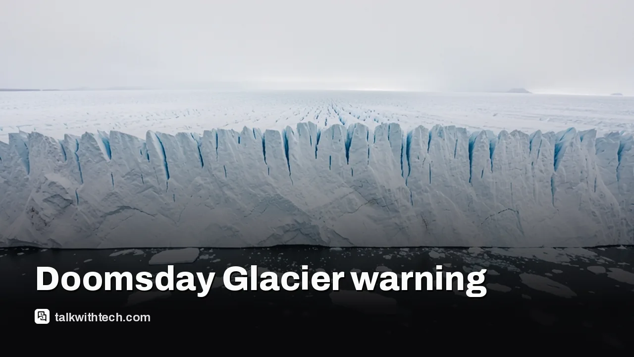
Aerial view of a massive Antarctic glacier edge meeting the ocean

The short version

  • A new model projects Thwaites Glacier will add about 30 millimeters, or 1.2 inches, to global sea levels by 2100.
  • That is roughly double earlier estimates, and it assumes no extra warming beyond today's conditions.
  • Satellite radar shows warm seawater flushing several kilometers under the ice with every tide.
  • Researchers give a 60 percent chance the glacier slips past a key undersea ridge by 2100, possibly as early as 2038.
Quick read · 1 min

Antarctica's Thwaites Glacier, often called the Doomsday Glacier, could add about 1.2 inches (30 millimeters) to global sea levels by 2100. That is about twice what earlier models predicted, and it assumes the climate does not warm any further.

Scientists at UC Irvine and NASA's Jet Propulsion Laboratory found that warm seawater reaches several kilometers under the ice with each tide, not just along a thin edge. Their new model, checked against more than 25 years of satellite records, is the first to match how fast the glacier has really changed.

  • An undersea ridge is holding the glacier back for now.
  • The team puts a 60 percent chance on the ice slipping past it by 2100, maybe as early as 2038.
  • Coastal flood planning in the US, UK and Canada may need updating.

Thwaites Glacier, the Antarctic ice giant nicknamed the Doomsday Glacier, may push global sea levels up twice as much this century as scientists expected. A team from the University of California, Irvine and NASA’s Jet Propulsion Laboratory now projects about 30 millimeters, or 1.2 inches, of rise from Thwaites alone by 2100.

That figure sounds small until you look at the catch. It assumes the climate stops warming today. Any extra heat in the oceans would push the number higher, and the researchers say their results point to more coastal flooding risk in the coming decades than earlier forecasts suggested. So why did the old models get it so wrong? The answer sits at the very bottom of the ice.

01

Why the Thwaites Glacier forecast just doubled

The forecast doubled because the new model lets warm seawater travel much farther under the glacier than older models allowed. For decades, glaciologists treated the spot where ice lifts off the bedrock and starts to float as a thin, steady boundary called the grounding line.

Satellite data tells a different story. Instead of a line, there is a grounding zone that can be several kilometers wide. Each time the tide rises and falls, seawater surges beneath the glacier, lifts parts of the ice and exposes more of its underside to melting.

Lead author Mattia Poinelli, who did the work as a postdoctoral scholar at UC Irvine, described a very different setup under the planet’s big ocean-facing glaciers than the one scientists had long assumed. The study appears in the journal Nature Communications.

Radar satellite orbiting above a polar ice sheet
02

How satellites caught the glacier misbehaving

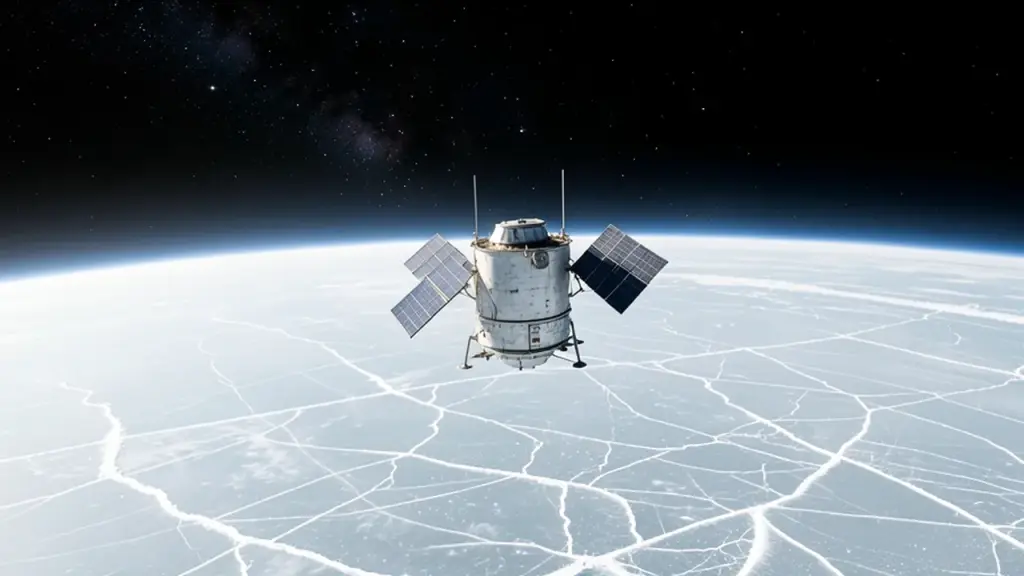
The team leaned on synthetic aperture radar, a kind of satellite imaging that bounces radio waves off the surface and can see through clouds and polar darkness. The data came from ICEYE, a Finnish satellite constellation able to spot ice moving up and down over kilometer-scale areas.

The researchers then checked their model against more than 25 years of real observations, from the mid-1990s to now. With a grounding zone 2 to 5 kilometers wide, the model finally matched how Thwaites has actually thinned, sped up and pulled back. Older models with a sharp grounding line missed the historical pace of change by a factor of four.

Eric Rignot, a UC Irvine glaciologist who co-wrote the paper, put it simply. The new model, he said, “is able to match the record and then produces projections that are twice as large as before.”
03

The undersea ridge holding Thwaites back, for now

A raised stretch of seafloor called the Mouginot Ridge is the main thing slowing the glacier’s retreat today. Think of it as a doorstop. Poinelli says the glacier’s main trunk is being held in place by it only temporarily.

If the ice comes loose from that ridge, it would slide back across seafloor that gets deeper inland, toward the next high point, known as the South Ridge. Deeper water under the ice means more room for warm water to do damage.

Here is the number that stands out. In simulations with a 4 to 6 kilometer grounding zone, the team found a 60 percent chance that Thwaites crosses the Mouginot Ridge by 2100. Some runs put that moment as early as 2038.

Waves splashing over a coastal seawall at high tide
04

What a melting Antarctic glacier means for coastal towns

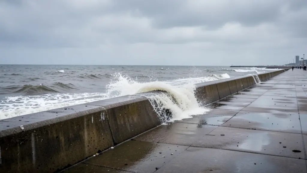
For people living near the coast in the US, the UK and Canada, the practical point is planning. Sea walls, flood maps, insurance pricing and city building rules all rely on sea level projections. If one glacier’s share is double what planners assumed, those plans may be too light.

Thwaites is big enough to matter on its own. It is roughly the size of Florida and holds enough ice to lift global seas by more than half a meter if it all went. It has been losing mass faster and faster for decades.

Rignot warned that the findings point to greater exposure to coastal flooding than anticipated. That is a signal for local governments and homeowners in low-lying areas to watch how official sea level guidance changes over the next few years.

05

Quick answers

Why is Thwaites called the Doomsday Glacier?

The nickname comes from how much its collapse would raise sea levels. It holds enough ice to add more than half a meter to global seas.

How much will Thwaites Glacier raise sea levels?

The new model projects about 30 millimeters, give or take 6, by 2100. That is around 1.2 inches and roughly twice earlier estimates, before any extra warming.

Who did the Thwaites Glacier study?

Glaciologists at the University of California, Irvine and NASA’s Jet Propulsion Laboratory. It was published in Nature Communications.

You're reading the quick version.